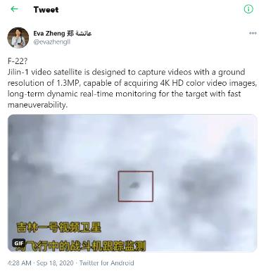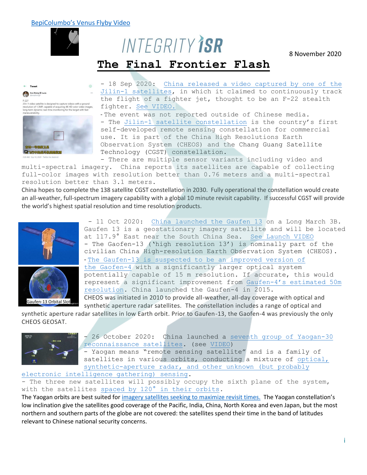
– 18 Sep 2020: China released a video captured by one of the Jilin-1 satellites, in which it claimed to continuously track the flight of a fighter jet, thought to be an F-22 stealth fighter. See VIDEO.
– The event was not reported outside of Chinese media.
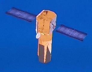
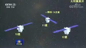
– The Jilin-1 satellite constellation is the country’s first self-developed remote sensing constellation for commercial use. It is part of the China High Resolutions Earth Observation System (CHEOS) and the Chang Guang Satellite Technology (CGST) constellation.
– There are multiple sensor variants including video and multi-spectral imagery. China reports its satellites are capable of collecting full-color images with resolution better than 0.76 meters and a multi-spectral resolution better than 3.1 meters.
China hopes to complete the 138 satellite CGST constellation in 2030. Fully operational the constellation would create an all-weather, full-spectrum imagery capability with a global 10 minute revisit capability. If successful CGST will provide the world’s highest spatial resolution and time resolution products.