19 May 2021: China launched its 8th Haiyang (meaning “ocean”) satellite into sun synchronous orbit to conduct oceanographic research. A Long March 4B launched from Jiuquan and placed the CAST built. 1,575 kg Haiyang 2D into a 940×954 km, 66° orbit.
– The Haiyang-2D satellite will be operated by the National Satellite Ocean Application Service (NSOAS), the satellite operating agency within China’s State Oceanic Administration responsible for state-run oceanographic research.
– The Haiyang satellites’ capabilities are used for disaster relief, marine forecasting, and scientific research. Pollution monitoring is also a large part of the Haiyang program.
– The constellation consists of four Haiyang-1 satellites and four Haiyang-2s. A future series of Haiyang-3 satellites are planned to begin deployment later this year.
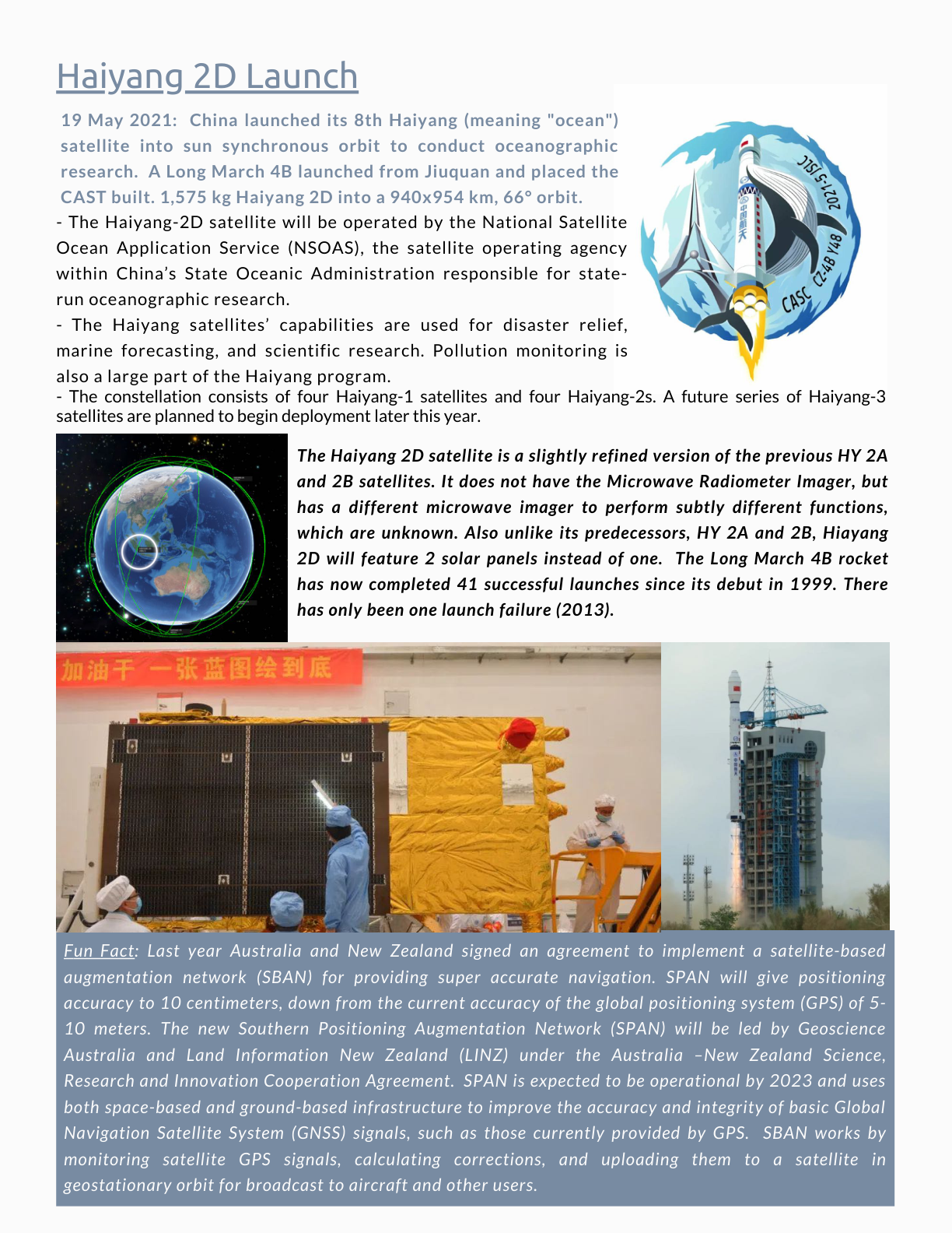
The Haiyang 2D satellite is a slightly refined version of the previous HY 2A and 2B satellites. It does not have the Microwave Radiometer Imager, but has a different microwave imager to perform subtly different functions, which are unknown. Also unlike its predecessors, HY 2A and 2B, Hiayang 2D will feature 2 solar panels instead of one. The Long March 4B rocket has now completed 41 successful launches since its debut in 1999. There has only been one launch failure (2013).
Fun Fact: Last year Australia and New Zealand signed an agreement to implement a satellite-based augmentation network (SBAN) for providing super accurate navigation. SPAN will give positioning accuracy to 10 centimeters, down from the current accuracy of the global positioning system (GPS) of 5-10 meters. The new Southern Positioning Augmentation Network (SPAN) will be led by Geoscience Australia and Land Information New Zealand (LINZ) under the Australia-New Zealand Science, Research and Innovation Cooperation Agreement. SPAN is expected to be operational by 2023 and uses both space-based and ground-based infrastructure to improve the accuracy and integrity of basic Global Navigation Satellite System (GNSS) signals, such as those currently provided by GPS. SBAN works by monitoring satellite GPS signals, calculating corrections, and uploading them to a satellite in geostationary orbit for broadcast to aircraft and other users.
Source links: Haiyang 2D mission · Launch/mission image · Australia/New Zealand SBAN · NASA Dragonfly