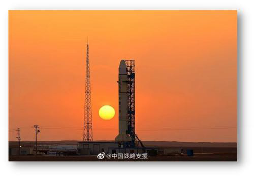
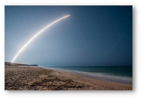
29 Mar 2023: Russia launched a Soyuz-2.1v rocket launched from Plesetsk, carrying an unknown payload designated Kosmos-2568 to a Sun-synchronous orbit (SSO). There are rumors the satellite may be another inspector satellite similar to Kosmos 2558, 2561 & 2562, however Kosmos-2568’s orbit more closely matches the EO MKA experimental/prototype spacecraft (all of which re-entered after only several weeks on orbit.) Launch Video.
– Kosmos-2568 is in a 340.7 x 325.8km orbit with an inclination of 96.5°.
– Suspected inspector satellites, Kosmos-2519, 2542, 2535, 2558, 2561 & 2562 and their subsatellites, all launched on the Soyuz-2.1v rocket from Plesetsk. This has led to speculation that Kosmos-2568 might also be another inspector satellite.
-However there is mounting evidence that Kosmos-2568 is likely another imagery prototype satellite similar to Kosmos-2551, 2555, and 2560.
-The three prototypes are also known as EO MKA (which presumably stands for “protype of a small satellite”). Kosmos-2568 appears to be EO MKA #4.
-Kosmos-2568 launched at a time of day similar to Kosmos 2551, 2555, and 2560 and has similar apogee, perigee and inclination values.
-The suspected Russian inspector satellites all are in higher orbits than Kosmos-2568 and, more importantly, are at different inclinations…2558 is off 8.7° and 2561/2562 are 4.2° off from Kosmos 2568.
-The mission for these short-lived spacecraft remains unknown. One poster on the NK forum claimed they are used as targets for the Peresvet anti-satellite laser system, but that this is only a secondary mission objective.
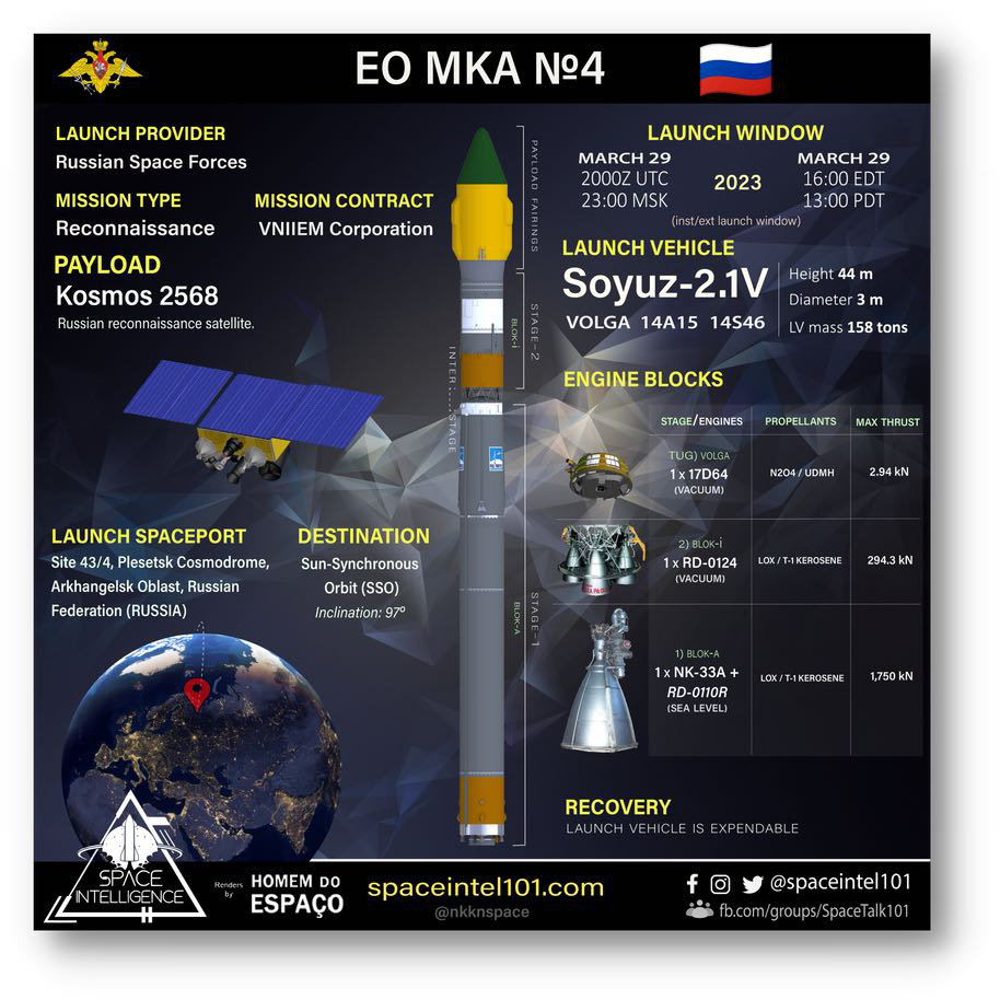
EO MKA No. 4 and Soyuz-2.1v mission overview for Kosmos-2568
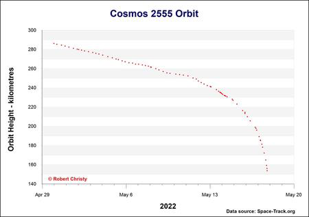
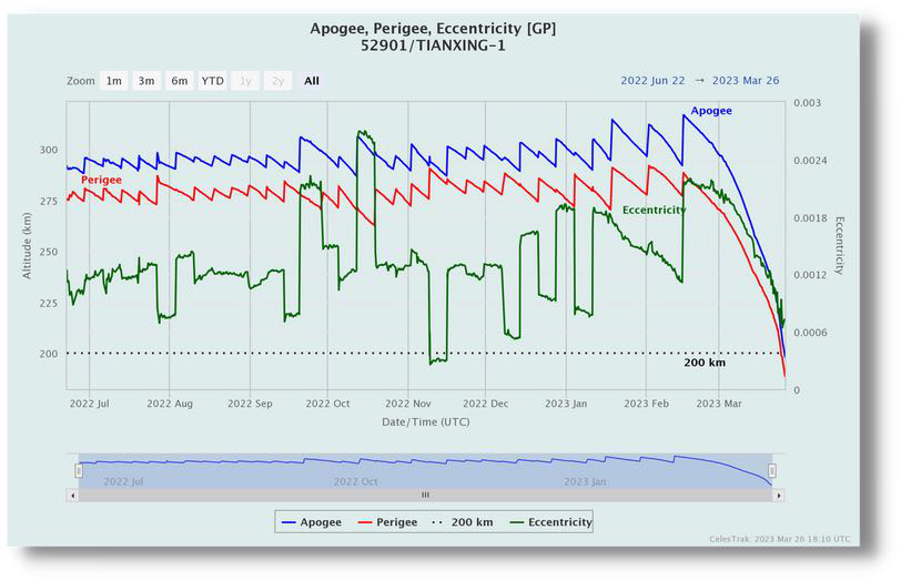
Orbital decay profile of Kosmos-2555