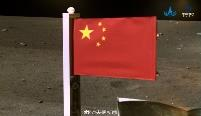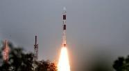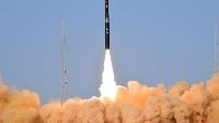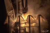
– 23 November 2020: China successfully launched its most ambitious mission to the Moon to date. Chang’e 5 is designed to bring a handful of lunar rocks to Earth in 2020.
– Long March-5 launched the 18,000lb payload from Wengcheng.
– Chang’e 5 consists of 4 robotic spacecraft. The quartet travels to the Moon together: 1) a service spacecraft provides solar power and propels the group to the Moon; 2/3) a lander and vehicle; and 4) a capsule to return to earth.
– Mission is scheduled to take about 23 days total and bring back 2-4 kg of material. Chang’e 5 is not equipped to survive lunar night.
The complexity of Chang’e 5 allows China to test out how to rendezvous and dock spacecraft in orbit around the Moon. The meetup in lunar orbit is meant to test out capabilities needed on future missions. A mission designed to return samples from Mars could certainly draw from Chang’e 5. The Chang’e 5 mission is very similar in its flight profile to that of NASA’s Apollo missions, which used similar techniques for putting people on the Moon. This mission could serve as practice for future crewed missions to the Moon.
[5 Dec Update: Chang’e 5 successfully landed on the moon, collected samples and is now returning to the Chang’e 5 lunar orbiter for eventual return Earth. The capsule should land in mid-December.]
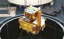
Chang’e 5.