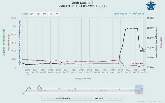
28 Jun: The Yaogan-35 01A/B/C triplet formation appears to have completely broken down with the lead satellite, YG-35 01B (49391) having lost 11.6km of altitude from 13 Apr – 27 Jun. As a result it is increasing it’s separation from Trail1/YG-35 01A (49390) and is also no longer co-planar as RAAN for the two satellites no longer matches 119.8° vs 121.7°. The Trail2 satellite, YG-35 01C has been increasing its altitude and now has an SMA 12.6km greater than Lead/YG-35 01B. YG-35 01B difficulties appear to have started Feb-Mar 2024.
– China launched YG-35 01A/B/C on 6 Nov 2021. It was the first of 15 triplets on orbit.
– For the first 24 month YG-35 01 maintained a “Lead-Trail1-Trail2” formation with all three satellites in co-planar orbits with Lead-Trail1 gap being significantly larger than Trail1-Trail2 gap.
– In late Jan 2024, Trail2 satellite (YG-35 01C) decreased its altitude and quickly passed both Trail2 and Lead satellites.
– Between 6-8 Feb both Lead and Trail1 satellites increased their SMA and remained co-planar.
– On ~14 Mar Trail1 satellite increased its SMA 2.2km going from 495.6 to 497.8km. Lead did not maneuver during this time period and its SMA continued to naturally decrease. As a result (10:1 rule again) Lead increased its separation with Trail1.
– On ~2-3 April China successfully increased Lead SMA ~1.3km to 492.7km. During this time China also increased Trail1 SMA ~2km to 497.6km. At this point Lead and Trail1 were on separate sides of the Earth (~13,500km separation).
– On 14 April China successfully increased Lead SMA 5.8km to 497.4km. There was no corresponding change to Trail1 which was at 497.0km. Lead has not increased SMA since this maneuver.
– Trail1 has increased its SMA 25 Apr, 17 May, 5 Jun and 28 Jun. Trail1 SMA is 12.6km greater than Lead SMA. Lead has now lapped Trail1 twice (27 May/27 Jun).
China’s first YG-35 mission has completely fallen out of formation. Of the remaining 14 triplets on orbit 7 appear to be operating in full formation while the other 7 triplets are maintaining Lead-Trail1 formation with Trail2 out of position.

Yaogan-35 01A/B/C formation in June 2022, when all three satellites were co-planar (spaceaware.io).
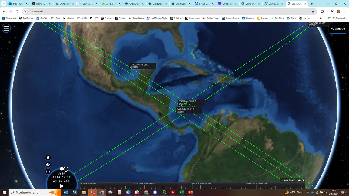
Yaogan-35 01A/B/C on 27 Jun 2024, with none of the satellites remaining co-planar (spaceaware.io).