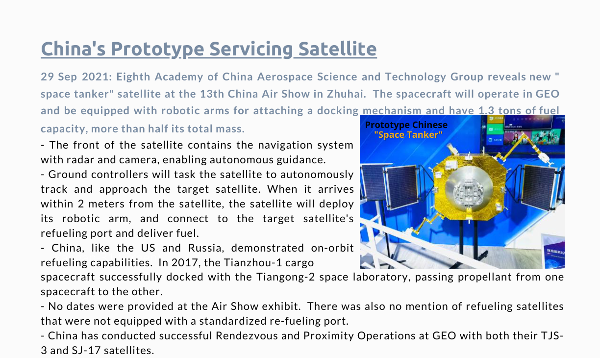
29 September 2021: Eighth Academy of China Aerospace Science and Technology Group reveals new “space tanker” satellite at the 13th China Air Show in Zhuhai. The spacecraft will operate in GEO and be equipped with robotic arms for attaching a docking mechanism and have 1.3 tons of fuel capacity, more than half its total mass.
– The front of the satellite contains the navigation system with radar and camera, enabling autonomous guidance.
– Ground controllers will task the satellite to autonomously track and approach the target satellite. When it arrives within 2 meters from the satellite, the satellite will deploy its robotic arm, and connect to the target satellite’s refueling port and deliver fuel.
– China, like the US and Russia, demonstrated on-orbit refueling capabilities. In 2017, the Tianzhou-1 cargo spacecraft successfully docked with the Tiangong-2 space laboratory, passing propellant from one spacecraft to the other.
– No dates were provided at the Air Show exhibit. There was also no mention of refueling satellites that were not equipped with a standardized re-fueling port.
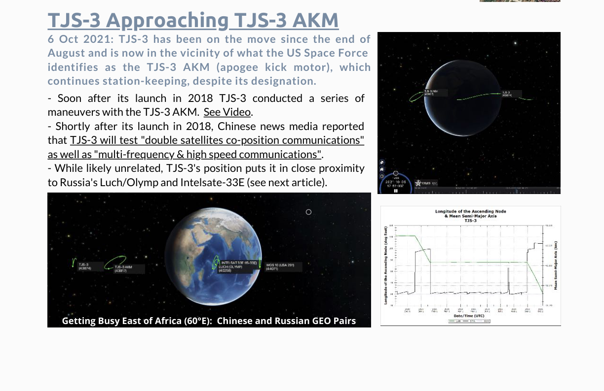
– China has conducted successful Rendezvous and Proximity Operations at GEO with both their TJS-3 and SJ-17 satellites.
Original PDF links: Source 1