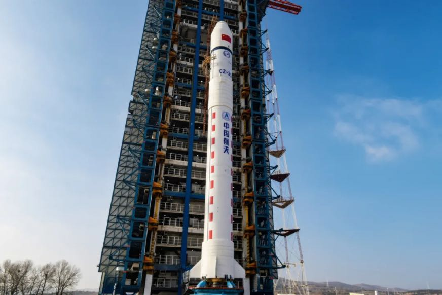
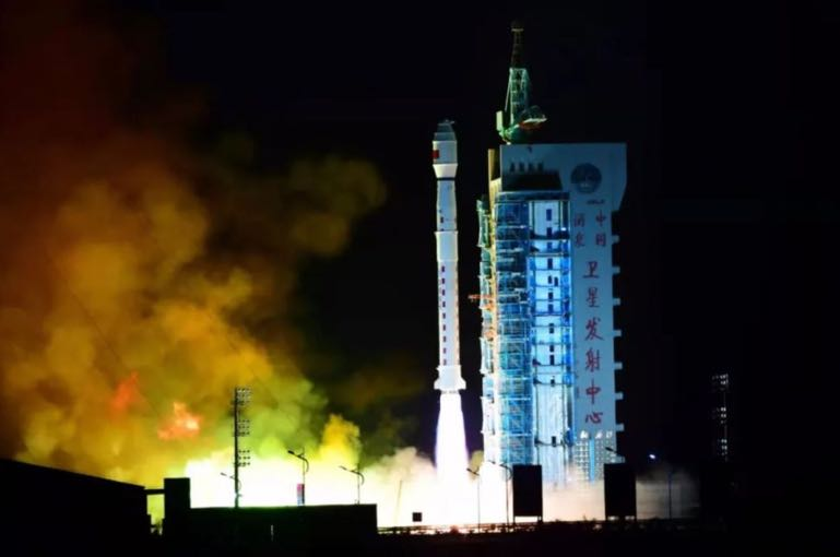
1 Jan 2022: Four months after launching on 23 Oct, Shijian-21 (SJ-21) docked with a defunct Chinese satellite to drastically alter its geostationary orbit, demonstrating capabilities only previously exhibited by the United States. See Videos Event, Tracking of Event
– Shijian-21 docked with the defunct Beidou-2 G2 navigation satellite and towed it above the geostationary belt.
– SJ-21 approached the defunct Beidou-2 G2 navigation satellite in December, matching its orbit, rendezvousing with, and eventually docking with the spacecraft.
– SJ-21 performed a large burn on 22 Jan, taking the Beidou-2 G2 satellite 3,000km above the GEO belt.
– Tracking SJ-21 was not a trivial event. SJ-21 went “missing” from its orbital slot for a few hours, after performing what are known as “close proximity operations,” moving closer to Beidou-2 G2. The “gap” in observations was the result of the timing of the docking maneuver during daytime – when telescopes cannot image. ExoAnalytics tracked it down after it performed “a large maneuver” pulling the dead satellite out of GEO.
– The docking and subsequent engine burn – which was unusually large, taking it beyond the usual “graveyard” orbit of 300 km above GEO – has effectively moved Beidou-2 G2 out of harm’s way.
– SJ-21 undocked from Beidou-2 G2 on 26 Jan, leaving the defunct satellite in a disposal orbit. SJ-21 has returned to GEO.
– Beidou-2 G2 failed in orbit after its 2009 launch and drifting since 2010. Some believe it may have partially fragmented.
– Little is known about SJ-21. China unveiled a servicing satellite model by the Shanghai Academy of Spaceflight Technology (SAST) at an airshow in September 2021, described as a space fuel tanker. A model of the spacecraft featured robotic arms which could be used for attaching to another spacecraft.
– On 1 Nov 2021 (1 week after launch), SPCS cataloged a new object alongside SJ-21 with the international designator 2021-094C. The object was used for early RPO and inspection tests before SJ-21 targeted the Beidou satellite, COMSPOC tracking shows. See Video.
– SJ-21’s mission appears to be similar to that of the two Northrup Grumman Mission Extension Vehicles (MEV-1 and MEV-2).
China describes SJ-21 as a space debris mitigation satellite. Still, no details of the satellite nor its planned objectives were released by its developer, the state-owned China Aerospace Science and Technology Corporation (CASC), following its successful launch. The classified nature of the mission suggests it may have at least some military stakeholders or objectives.
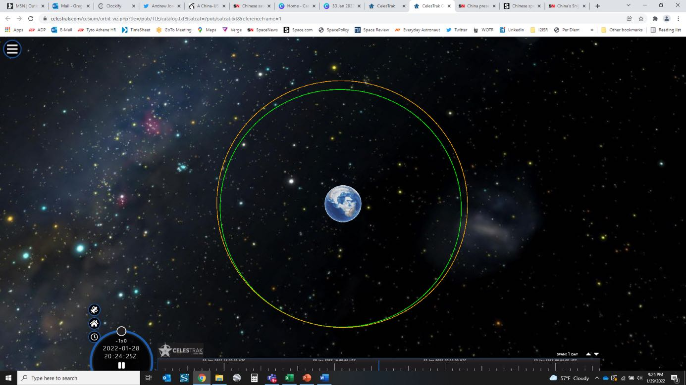
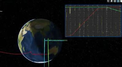
Polar View of SJ-21 at GEO & Beidou-2 G2's New Orbit.

Beidou-2 G2.

The Approach: SJ-21 and Beidou-2 G2 rendezvous tracking.
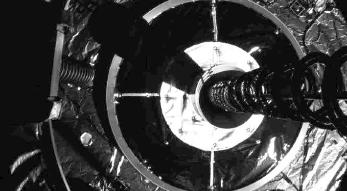
MEV-1 docking with Intelsat 901.