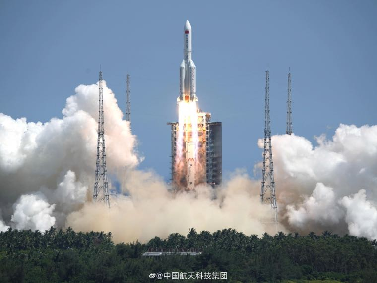
16 Jul 2022: China launched two satellites onboard a Chang Zheng 2C from the Taiyuan Satellite Launch Center (TSLC). The payloads went to a Sun-Synchronous Orbit (SSO) and are called Siwei Gaojing-2 01/02, or SuperView Neo-2 01/02. The Synthetic Aperture Radar (SAR) satellites were constructed and operated by China Siwei Survey and Mapping Technology Co. Ltd. Launch Video.
– There was initial debate as to whether SuperView Neo-2 satellites are Electro Optical or SAR imagery. Neo-2 are believed to be SAR capable of producing 50cm resolution imagery when operating in spotlight mode.
– The Neo-2 satellites are in SSO as their NEO-1 predecessors which are confirmed high resolution electro optical satellites.
– Both satellite pairs are at similar altitudes and 97.4° inclination.
– The launch time of the NEO-2 satellites places them in a “dawn-dusk terminator” SSO which is more linked with radar/SAR satellites.
– Previously, Siwei launched 2x 30cm resolution SuperView 1 satellites on 29 Apr 2022.
– For their final constellation, Siwei is planning to launch at least 28 satellites which will be divided into three different kinds of satellite systems.
– 16 Neo-1 satellites provide 20-30cm resolution imagery; 8 Neo-2 satellites provide SAR images with a 50cm resolution.
– 4 Neo-3 satellites will collect “large swath-width, optical images” with 1m or better resolution. These have a worse resolution than the Neo-1 but can capture a bigger frame for their images. It is not known when the first Neo-3 will launch.
– The final constellation will provide information to a variety of providers in the civil and defense sector for civil mapping, agriculture management, energy and transportation infrastructure, disaster monitoring, and more.
Siwei Survey & Mapping Tech is technically a commercial company, but is a subsidiary of the China Aerospace Science and Technology Corporation (CASC), which is the main state-owned Chinese contractor for the construction of launch vehicles and rocket systems.
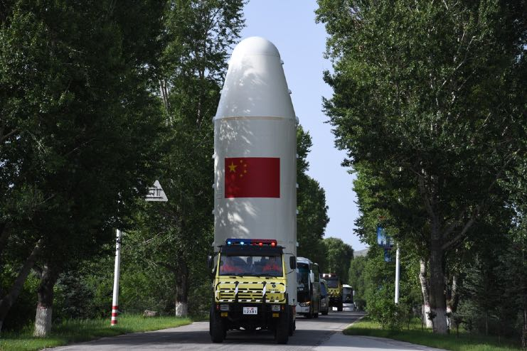
SuperView Neo-2 launch vehicle on transport.
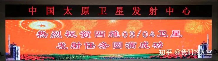
Taiyuan Satellite Launch Center mission banner.
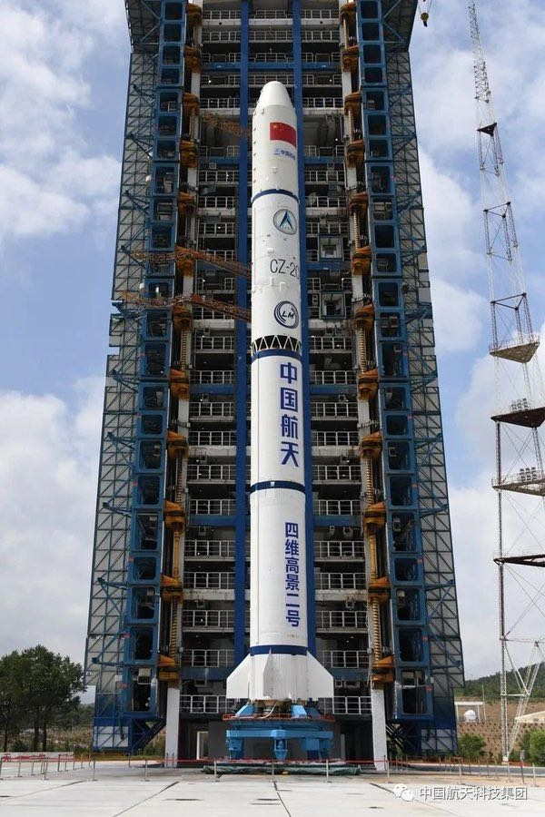
Long March 2C with SuperView Neo-2 payloads on the pad.