9 Mar 2023: China launched a Long March 4C rocket from Taiyuan carrying the Tianhui-6 A/B satellites. The twin satellites will be used for geographic mapping, land-resource surveys, scientific experiments and other applications. The issue notes that some Western observers believe these functions can also support Chinese military requirements. Launch Video.
– Tianhui translates to “sky-drawing” and is a series of unclassified cartography satellites operated by the China Aerospace Science and Technology Corporation.
– The two satellites entered an approximately 888 × 880km orbit at 99° inclination, significantly higher than earlier Tianhui spacecraft.
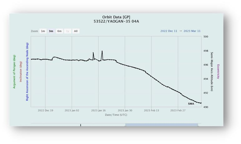
– Tianhui-1 satellites operate near 485–496km apogee and carry three Earth-observation cameras: a 5m panchromatic camera, a 2m panchromatic CCD camera and a 10m multispectral imager.
– Tianhui-2 satellites operate around 513km and are China’s first microwave-surveying satellite system based on synthetic-aperture radar, using X-band radar with approximately 3m resolution.
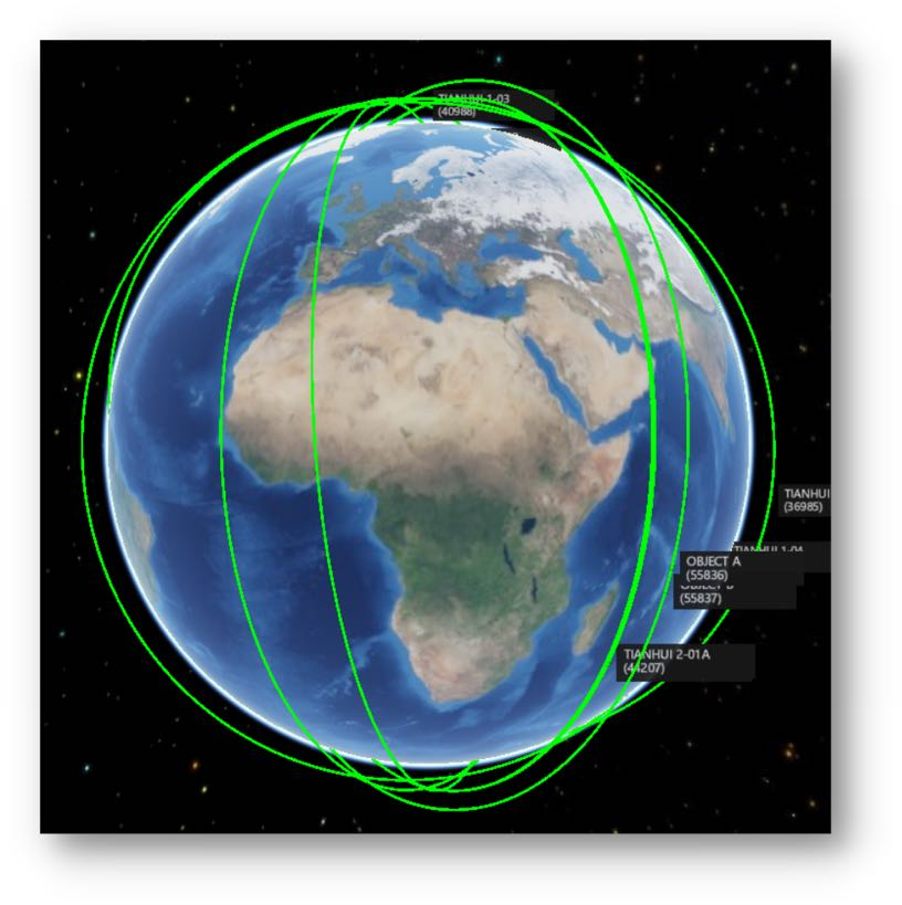
– Tianhui-1 satellites operate independently in separate planes, while Tianhui-2 satellites operate in two-satellite formations.
– Tianhui-6 A/B appear to follow the Tianhui-2 formation pattern and may also be SAR-capable, although an altitude near 900km is unusual for this type of mission.
The issue compares Tianhui-2 with Germany’s TerraSAR-X and TanDEM-X concept: paired radar satellites can produce stereo data needed for 3D mapping, while optical Tianhui-1 spacecraft provide complementary spectral information for vegetation, agriculture, land use and natural resources.
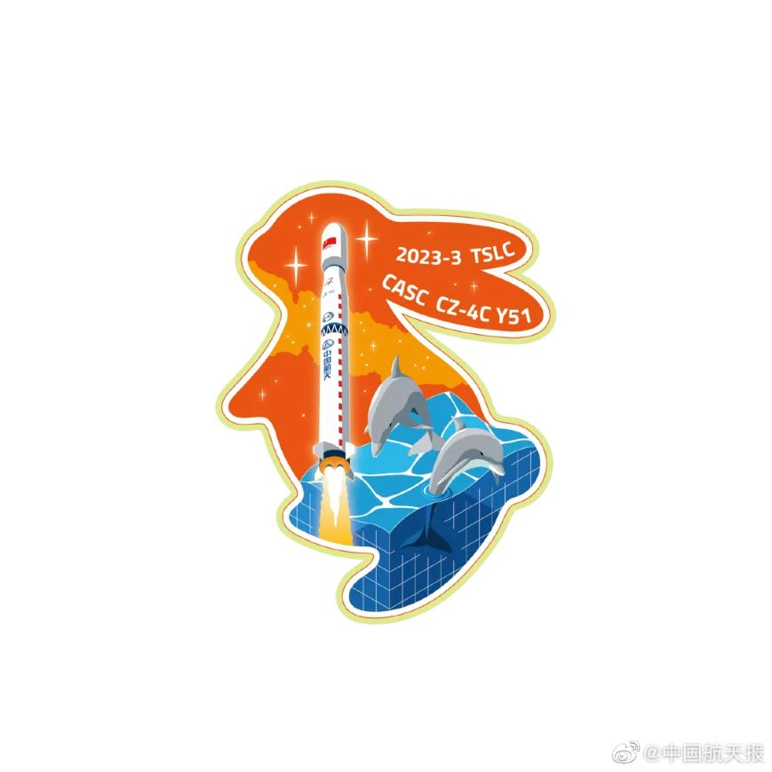
Tianhui-6 mission patch celebrating the Year of the Rabbit.
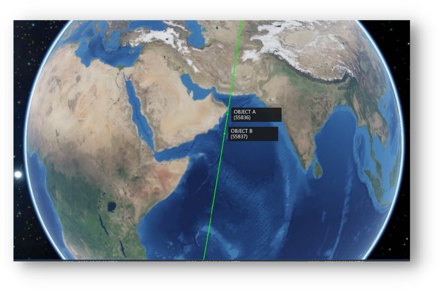
Tianhui-6 A/B on orbit.