9 Feb: Russia launched a Soyuz 2.1v from Plesetsk with the Kosmos-2575 satellite for the Russian Ministry of Defense. While Russia release little information regarding Kosmos-2575, the satellite’s altitude and sun-synchronous orbit suggests an imagery mission. The launch occurred 10:03 Moscow Time, the same exact time of day as the 27 Dec 2023 launch ofKosmos-2574. The two satellites are nearly co-planar. Launch Video.
– Kosmos-2575 is in a 356.2x345km orbit with an inclination of 96.8°. Its semi-major axis is ~10km greater than that of Kosmos-2574. Other parameters are nearly identical.
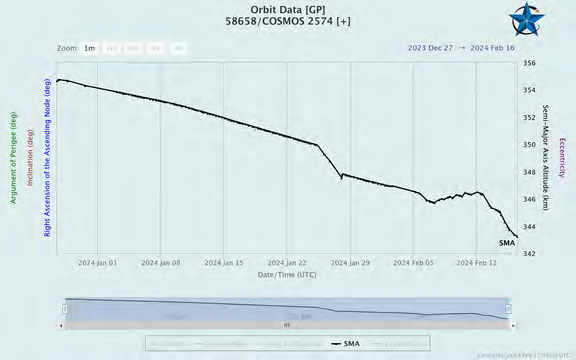
– Initially Kosmos-2574 was at a similar altitude as 2575, however Kosmos-2574 has decreased its altitude ~10km since the beginning of 2024.
– If both satellites maintain their current orbits, Kosmos-2574 will narrow the separation between the two by ~100km per orbit (thanks again Jack!)
– This is not to infer that the missions of Kosmos-2574 and -2575 are linked. It is also possible that Kosmos-2574 is no longer able to maintain its orbit and Kosmos-2575 is simply a replacement. Or Russia is adding to its inventory of imagery satellites to support its operations in Ukraine. We should be able to tell more over time and observe more satellite maneuvers.
– Kosmos-2574 is believed to be an EO MKA or Razbeg imagery satellite. It is not clear what the distinctions are between the two satellite types.
– EO MKA / Razbeg imagery satellites are believed to be a small optical reconnaissance satellites (~150kg) built by VNIIEM. Expected ground resolution is 0.9m.
– There is also speculation that Kosmos-2575 is some sort of nuclear-armed ASAT weapon. Such a satellite would be in violation of the Outer Space Treaty, of which Russia has signed.

Russian troops Prepare for the launch of Kosmos 2575 (arstechnica.com)
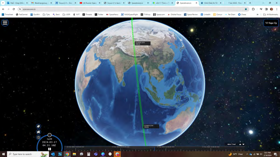
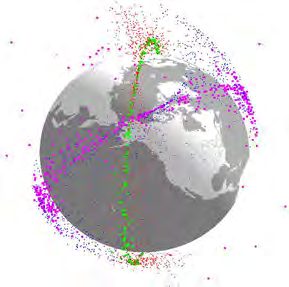
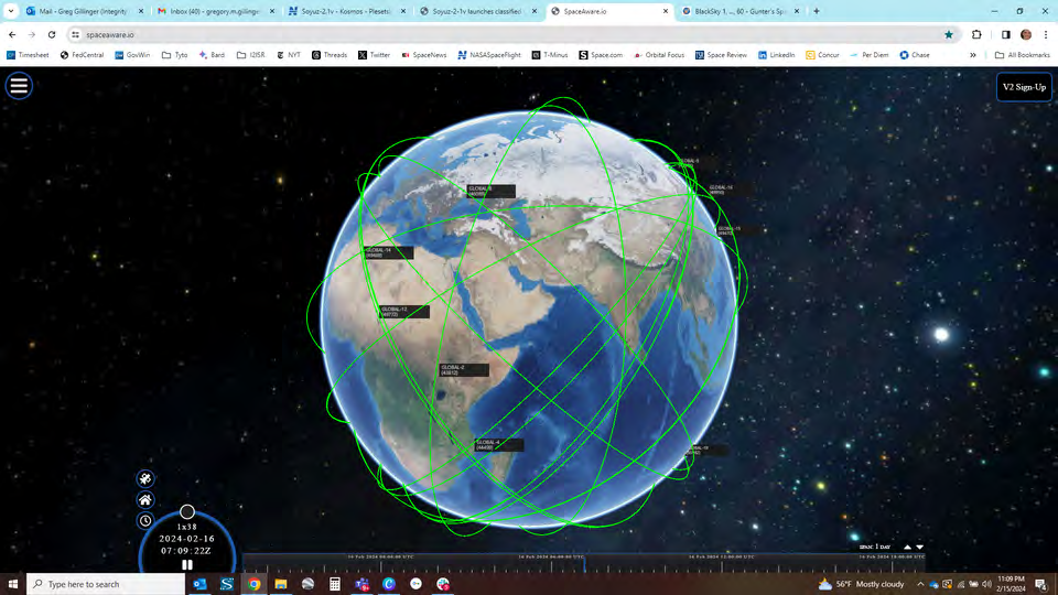
Kosmos-2574 and -2575 Orbits (spaceaware.io)