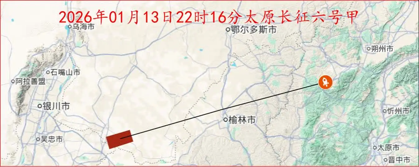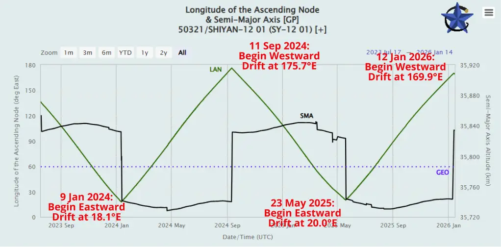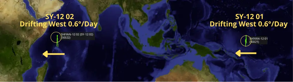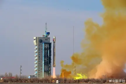
30 Dec 2025: China launched Long March-7A with the Shijian-29A and Shijian-29B satellites (67302 & 67303) from Wenchang. According to official sources, the satellites entered the preset orbit successfully and “will be mainly used for related new technology verification for space target detection”. Interestingly, they share a similar launch date and launch vehicle with the Shiyan-12 01/02 (50321 & 50322) satellites China launched on 23 Dec 2021, which also rode atop a Long March 7A. SY-12 A/B are frequently featured in the Flash as they continuously cruise the GEO belt. China has a tradition of launching “interesting” payloads near the end of the calendar year. Thanks, guys! Launch Video.
– After exiting GTO SJ-29A has settled into GEO at 73.0°E longitude with an inclination of 3.0°. SJ-29A currently has minimal drift from its current position.
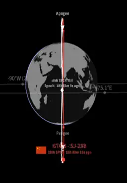
-The Joint Commercial Operations cell (JCO) reported that there was a secondary object from this launch. That object has now been cataloged as SJ-29B. JCO reporting noted the SJ-29B was separating from SJ-29A about 7km per day on 10 Jan.
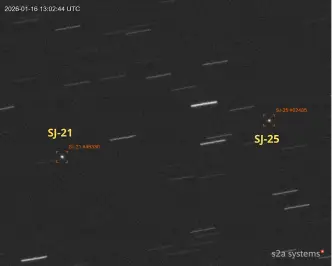
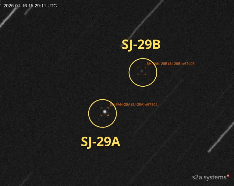
– JCO also reported the secondary object appeared stable and is ~2.5 visual magnitude dimmer than SJ-29A. Passive RF collection also suggests the separated object may be sending radio signals at a frequency of 2218MHz.
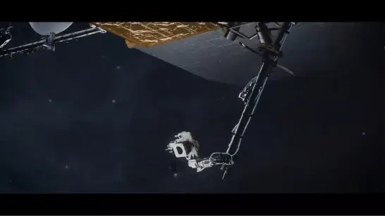
-The visual magnitude difference between SJ-29A and the secondary object suggests the vehicles are of different sizes and shapes. See image from the amazing s2asystems.
-The use of the LM-7A may indicate a similar mission as that of the Shiyan-12 01 and Shiyan-12 02 satellites China launched in late-2021. How China operates both satellites should reveal more of their mission.
China launched SY-12 01/02 into a different GEO location (~94.28°E) and inclination 0.5°. So the use of the same launch vehicle may be coincidental.
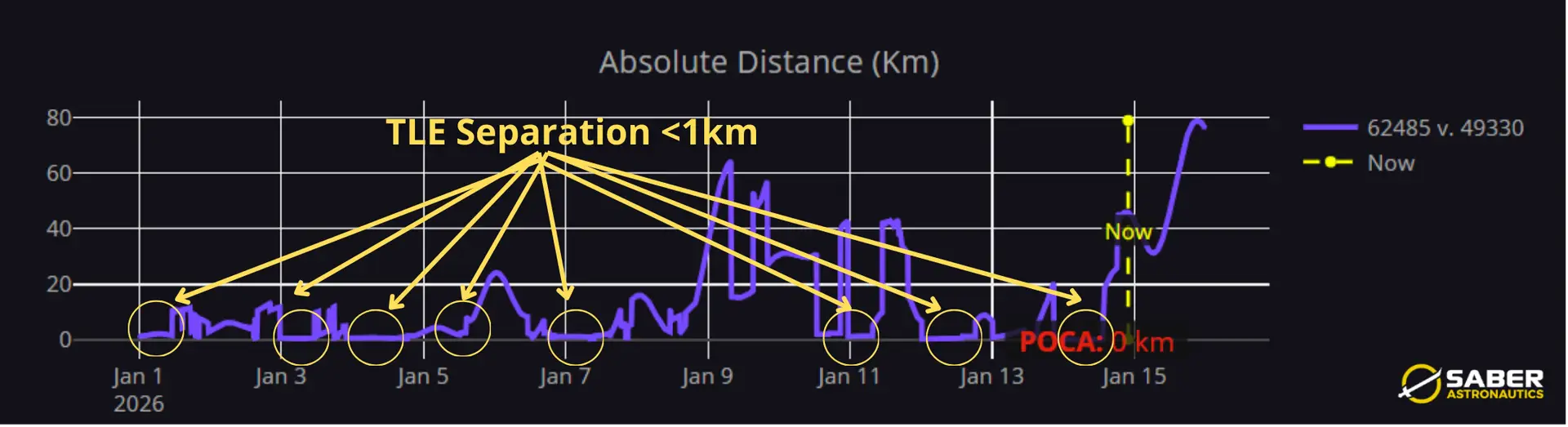
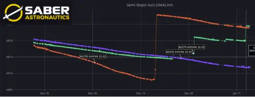
– As of 12 Jan SJ-29A and SJ-29B were separated 40-53km from one another. The vast majority of this separation is in-track which can be increased/decreased with minor maneuvers.
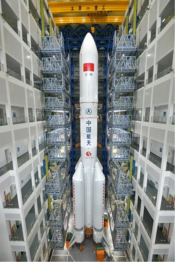
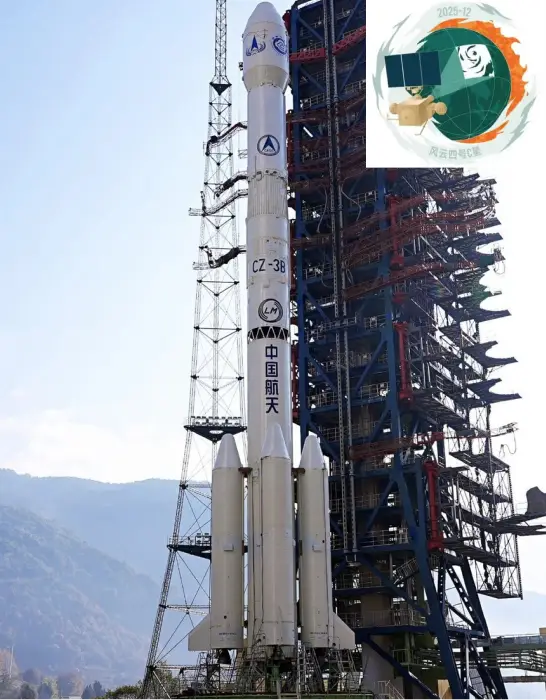
LM-7A Prepares to Launch
SJ-29A/B & Mission Patches.
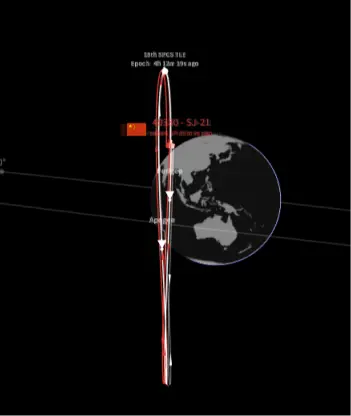
SJ-29A/B On Orbit (nasaspaceflight.org) & s2asystems.com)


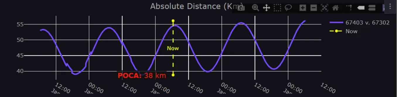
Launch & mission patches (above) (nasaspaceflight.com). Separation Distance Between SJ-29A & 29B Varies from 40-53km (saberastro.com)