25 May 2022: SpaceX launched several 59 payloads on its fifth dedicated rideshare mission. The Falcon 9 lifted off from Space Launch Complex 40 at Cape Canaveral, Florida. The rocket’s booster, flying its eighth mission, landed back at Cape Canaveral’s Landing Zone One eight and a half minutes after liftoff.
– The satellites were delivered into a sun-synchronous orbit with apogees ranging from 531.9-535.2km and perigees from 514-523km. Inclination is 97.5°.
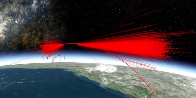
– Falcon 9 made a “dogleg maneuver” to reach polar orbit to avoid overflying Florida. This launch used the polar launch corridor, which has been used by SpaceX since the SAOCOM 1B mission in 2020. The corridor had previously been unused between 1969 and 2020.
– Rideshare aggregator Exolaunch accounted for 21 Transporter-5 satellites, including satellites for Iceye, Satellogic, and Spire. Smallsat manufacturer Terran Orbital flew satellites for several customers, such as Fleet, GeoOptics, and NASA.
– HawkEye 360 had a cluster of three radio-frequency intelligence satellites onboard as well: GHGSat, which launched three satellites to monitor greenhouse gas emissions; and Umbra, which launched a synthetic aperture radar imaging satellite.
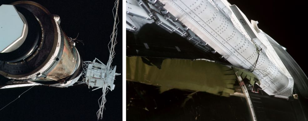
– Outpost Mars Demo-1 was also onboard and will demo structural metal cutting in space – part of #Nanoracks Outpost Program’s goal to transform used launcher upper stages into uncrewed, controllable platforms.
– Xona, a commercial company attempting to build a LEO PNT constellation, launched its first in-space demo mission via Transporter 5.
– The mission carried several orbital transfer vehicles. These can help bridge the gap between pure rideshare missions where payloads have little or no control on the orbit they’re placed in and dedicated smallsat launches like Rocket Lab’s Electron, which offers greater control but at a higher price.
– Transporter-5 was SpaceX’s fifth dedicated small-sat rideshare mission and the third this year, after Transporter-3 in Jan and Transporter-4 in Apr. The next rideshare mission, Transporter-6, is scheduled for Oct.
– Demand for rideshare missions remains strong.

SpaceX Transporter-5 mission and payload infographic.
Transporter-5 mission patch.

Falcon 9 launch for the Transporter-5 rideshare mission.