Issue 58

An Analysis of Chinese Remote Sensing Satellites

26 Sep 2022: Article in the Space Review provides a non-exhaustive overview of the development and current execution of China's satellite surveillance capabilities. The article divides satellites into civil, commercial and military categories while noting all remote sensing data from satellites is considered dual-use…

26 Sep 2022: Article in the Space Review provides a non-exhaustive overview of the development and current execution of China’s satellite surveillance capabilities. The article divides satellites into civil, commercial and military categories while noting all remote sensing data from satellites is considered dual-use (civil & military).

– Civil Remote Sensing Satellites

  • Fengyun meteorological satellite (FY): odd-numbered satellites (FY 1, FY 3) refer to polar-orbiting low Earth orbit (LEO) satellites, while the even-numbered satellites are geostationary Earth orbit (GEO) satellites (FY 2, FY 4). All Fengyun satellite data products are available to users all over the world and can be downloaded for free.
  • Haiyang Ocean Satellite (HY): group of marine scientific remote sensing satellites. HY 1 series [2002, 2007, 2018, 2020] is China’s first satellite for surveying ocean resources (ocean color and sea surface temperature) and monitoring the environment. HY 2 series [2011, 2018, 2020, 2021], is a parallel series to HY 1. HY 2 monitors the dynamic ocean environment with microwave sensors. HY 3 satellites, still to be launched, will be used to monitor islands, coastal zones, and maritime targets to obtain ocean geodesy information with optical, infrared and microwave sensors.
  • Huanjing Disaster and Environmental Monitoring Satellite (HJ): China plans to launch a total of 11 Huanjing satellites for disaster and environmental monitoring. The satellites will have visible, infrared, and multi-spectral sensors, and synthetic aperture radar (SAR). Up until now, five satellites have been launched.
  • Ziyuan/CBERS Earth Resources Satellite (ZY): satellites designed for global coverage and include optical cameras and a system for collecting data on the environment. They are jointly managed by the PRC and Brazil. From 1999 to 2019, four successful CBERS missions were flown; three more ZY missions were launched in which China did not cooperate with Brazil.
  • China High-resolution Earth Observation System (CHEOS): 25+ Gaofen satellites have been launched since 2013. These satellites are based on CAST satellite busses. It is known from the first seven GF series that different sensors are often used on each satellite. Resolution capabilities and other information about Gaofen satellites was published for the lower numbered Gaofen series of satellites. Information for Gaofen satellites with number 8 and higher has not been publicly released, suggesting that the satellites are (partly) for national defense purposes.

– Commercial remote sensing satellites

  • Beijing series of commercial optical remote sensing satellites: first 2 generations were commercially built for China by Surrey Satellite (UK). Noteworthy, the imaging capacity of Beijing 2 was 100% leased by a Singapore based company. Beijing 3 [2021, 2022] satellites have been built by China Aerospace Science and Technology Corporation to acquire optical remote sensing satellite data and information products for the global commercial market.
  • Jilin-1 series of satellites: Jilin-1 is China’s first, self-developed, commercial remote sensing satellite system and is operated by the Chang Guang Satellite Technology Corporation (CGSTC). The Jilin-1 satellite constellation is the core project and will eventually be composed of 138 remote sensing satellites covering high resolution, large swath width, video, and multi-spectrum, and a high revisit commercial service. As of the beginning of September, CGSTC has successfully launched 73 Jilin-1 satellites into space.

– Military remote sensing satellites

  • Yunhai meteorological satellite (YH): meteorological satellite series [2016, 2019] in Sun-synchronous orbits (SSO) that are assessed to have military purposes. The satellites reportedly use Global Navigation Satellite System radio occultation to collect atmospheric data for weather forecasting and for ionosphere, climate, and gravity research.
  • Ludi Kancha Weixing (LKW): high-resolution optical Earth observation satellite for military purposes. The two satellites appear to be connected to the Yaogan reconnaissance satellite fleet. Based on its appearance-a hexagonal satellite body with three radial fixed solar panels-the satellite is likely suitable for hosting a telescope of about 65 centimeters and thus, in a 500-kilometer orbit, achieving a possible ground resolution of up to 0.7 meters for panchromatic and better than 3 meters for multispectral and near-infrared images.
  • Tianhui Yi Hao Weixing: collective name for a network of several topographical satellites, built by Dong Feng Hong and operated by the People’s Liberation Army. It includes Earth observation missions using optical, radar, gravity, and magnetism sensors to obtain geo-information about the Earth. Four satellites have been launched (2010—2021) in 500-kilometer SSO. The satellites are equipped with two different camera systems. One of them in the visible range (5 meters resolution), and the other in the infrared band (10 meters resolution).
  • Tongxin Jishu Shiyan Weixing (TJS): series of Chinese satellites that have been deployed in geostationary orbit since 2015 and presented by Chinese authorities as telecommunications satellites. According to the Shanghai Academy of Spaceflight Technology, TJS 6 and TJS 7 have experimental docking stations. It cannot be said with any certainty what kind of (military) satellites the launched TJS 3 and TJS 7 (2018, 2021) are. TJS 1, 4, and 9 (2015, 2019, 2021) are assessed to be electronic intelligence (ELINT) satellites. They are sometimes also referred to as Qianshao-3 or Chang Cheng. Reportedly, TJS 1 had successfully deployed China’s first large aperture reflector antenna (about 32 meters across) after it reached GEO. TJS 2, 5, and 6 (2017, 2020, 2021) are assessed to be early warning of ballistic missiles satellites. They are sometimes also referred to as Huoyan.

– Yaogan/Jianbing Military Remote Sensing Satellites: Yaogan satellites primarily support the People’s Liberation Army and may support civil causes too. They utilize various means of remote sensing: synthetic aperture radar (SAR), electro-optical reconnaissance (EO), and electronic intelligence (ELINT) for ocean surveillance.

  • Yaogan | Jianbing — synthetic aperture radar (SAR): Jianbing X is believed to be a new type of SAR reconnaissance satellite. Yaogan 29, 33, and 33R are associated with this name.
  • Yaogan | Jianbing — Electro-optical: Jianbing 6, 9 11, and potentially Yaogan 26 satellites capable of high resolution imagery. The most recent satellites, Jianbing 11 is believed capable of delivering images with a resolution of <1m. Since 2012, two satellite missions have been launched.
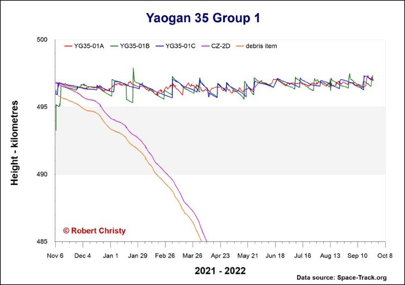
  • Yaogan | Jianbing — Ocean Surveillance: main objective is to put an end to the near invulnerability of US aircraft carriers. Jianbing 8 and more recent Yaogan 35 used to detect, identify, and locate radar and telecommunication emissions.
  • Chuangxin 5 | Yaogan 30 — Ocean Surveillance: Yaogan 30, 32 and 34 satellites. Initially believed to be ELINT, it is now questionable whether the Yaogan 30 constellation is dedicated to ELINT. The satellites operate at a lower altitude and are not in formation. Therefore they could very well be small optical satellites that offer a high frequency of repetition. Up till July 2021, ten triplets of Yaogan 30 satellites have been put in space.