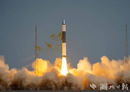
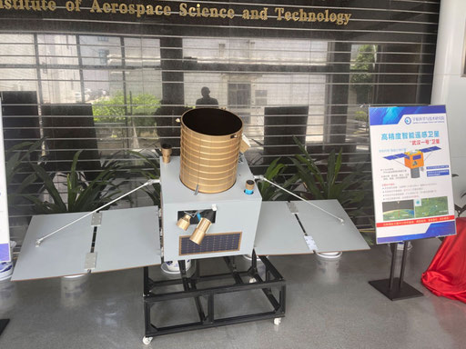
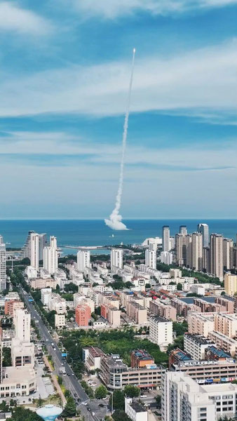
20 May: China launched a Long March-2D with four Beijing-3C satellites (BJ-3C) from Taiyuan. The Beijing-3C constellation includes four optical remote sensing satellites that can “achieve 0.5m resolution color and 2m multispectral at an orbital altitude of 500km”. According to official sources, the satellites entered the predetermined orbits. Interestingly, China equipped the LM-2D with grid fins to better control the “landing” of the rocket’s first stage. Launch Video. Watch video of Grid Fins in action.
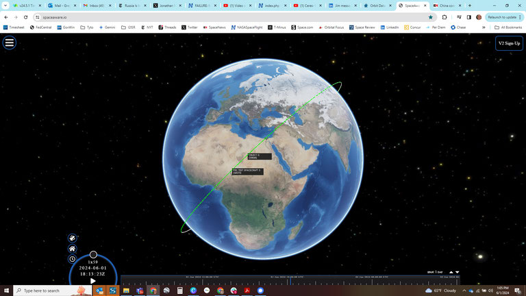
– All four satellites (Beijing-3C 01-04) are in sun synchronous orbit (SSO) with an altitude of 498x485km and an inclination of 97.5°.
– A Chinese private company, Twenty First Century Aerospace Technology Co. Ltd. (21AT) will operate the satellites.
– On 24 May, China Aerospace Science and Technology (CAST) Corporation reported it had successfully received its first image from Beijing-3C.
– Beijing-3C 04 is also known as The “Zhengzhou Airport” satellite. One Chinese press reported this satellite is equipped with Century Space’s onboard intelligent monitoring and on-orbit processing technology. Together with the ground measurement and control receiving station network, Internet cloud service center, user application terminals, etc., it forms an integrated “satellite-ground-cloud-end” system that can achieve rapid coverage of large areas, has on-orbit intelligent image processing and information interpretation and analysis capabilities, and supports on-orbit extended processing functions.
– This is the third launch of the Beijing series imagery satellites. China launched Beijing-3A and three other satellites in June 2021. All are reported “dead” in the spacetrack.org catalog. In 2022 China launched Beijing-3B and that satellite remains active and operating at a SSO with an orbit of 612.9×593.7km.
– This is not the first time China has experimented with using grid fins on the LM-2D. This was first tested on a 14 October 2021 launch also from Taiyuan. The launch carried the Chinese H-Alpha Solar Explorer and 10 other satellites into orbit.
– The purpose of these is not to help recover the stage for reuse, but to help guide it as it falls back to Earth and ensure that it falls harmlessly into its planned drop zone.
– Because China’s older launch sites are located inland, its rockets have become infamous for dropping debris in populated areas (see video1 or video2). China is using grid fins in attempt to reduce the risk to people and property under the flight path.

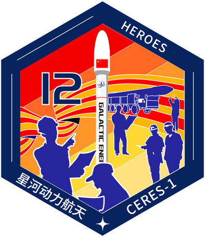
Long March-2D Beijing-3C mission patch (nasaspaceflight.com).

Long March-2D grid fins used to guide the first stage toward its planned drop zone (nasaspaceflight.com).

Artist rendering of a Beijing-3C optical remote-sensing satellite (nasaspaceflight.com).

Beijing-3C mission patch showing the four-satellite payload (nasaspaceflight.com).