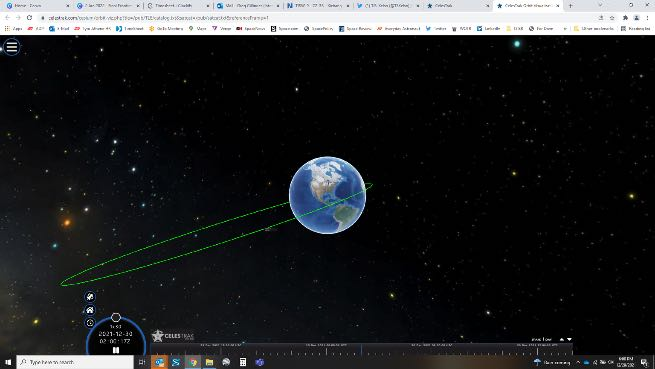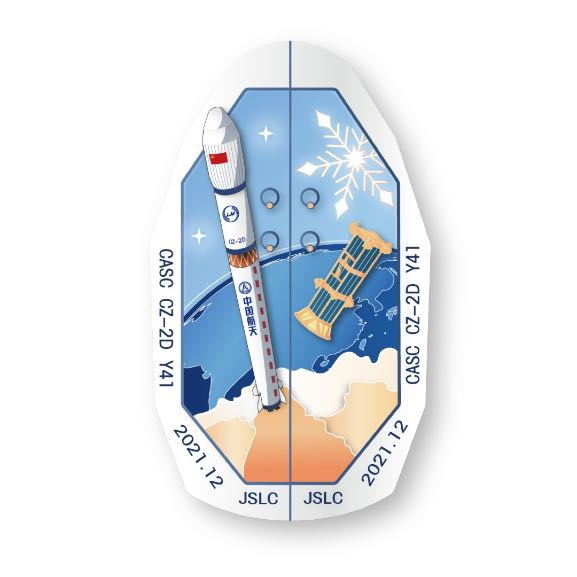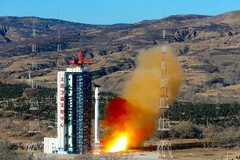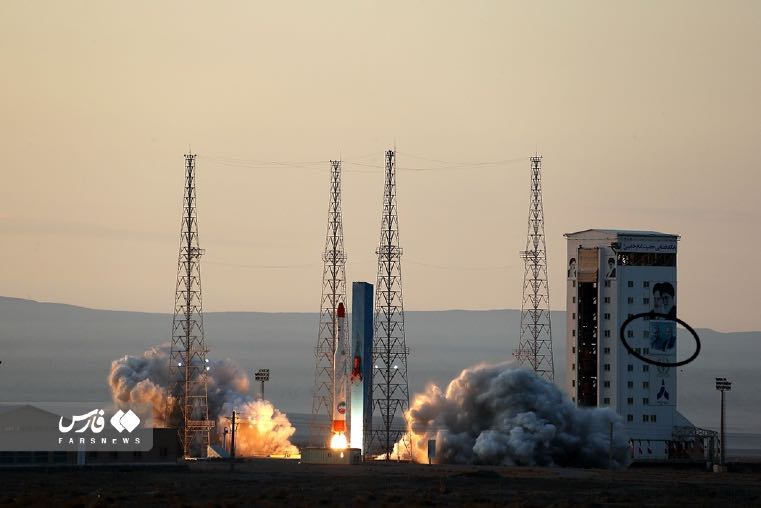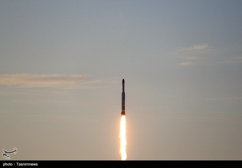
23 Dec 2021: China launched a new-generation Long March 7A rocket and successfully sent a pair of Shiyan-12 test satellites into geosynchronous transfer orbit. The satellites are stated to be for space-environment studies and related technical tests and were developed by the China Academy of Space Technology (CAST), a CASC subsidiary. Both are now in GEO. See Launch Video.
– This was China’s third launch of the new LM-7A rocket. The first launch failed and the second was successful.
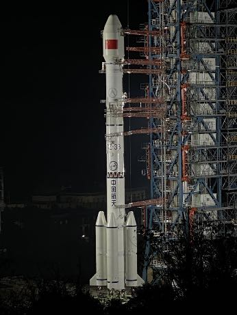
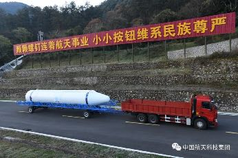
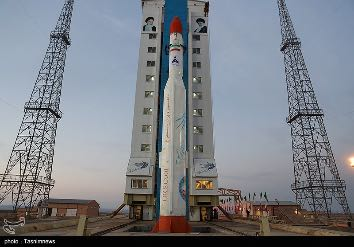
– At 60.7 meters long, the LM-7A used for this dual-satellite launch included an elongated fairing, making it China’s longest rocket. It has a 3.35-meter diameter, four side boosters, and can deliver up to 7 metric tons to GTO.
– The standard LM-7 is used to launch cargo spacecraft to China’s space station. The 7A includes an additional hydrolox stage. CASC plans to perform 3-5 Long March 7A launches a year by 2025, and the vehicle can also be used for lunar and deep-space missions.
– The officially announced purpose of the Shiyan 12 satellites is spatial-environment detection and testing. Open-source discussion has compared the mission with U.S. GSSAP.
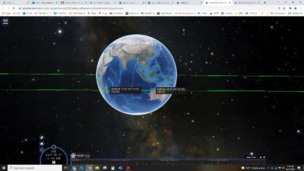
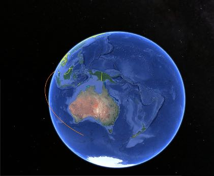
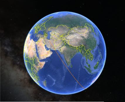
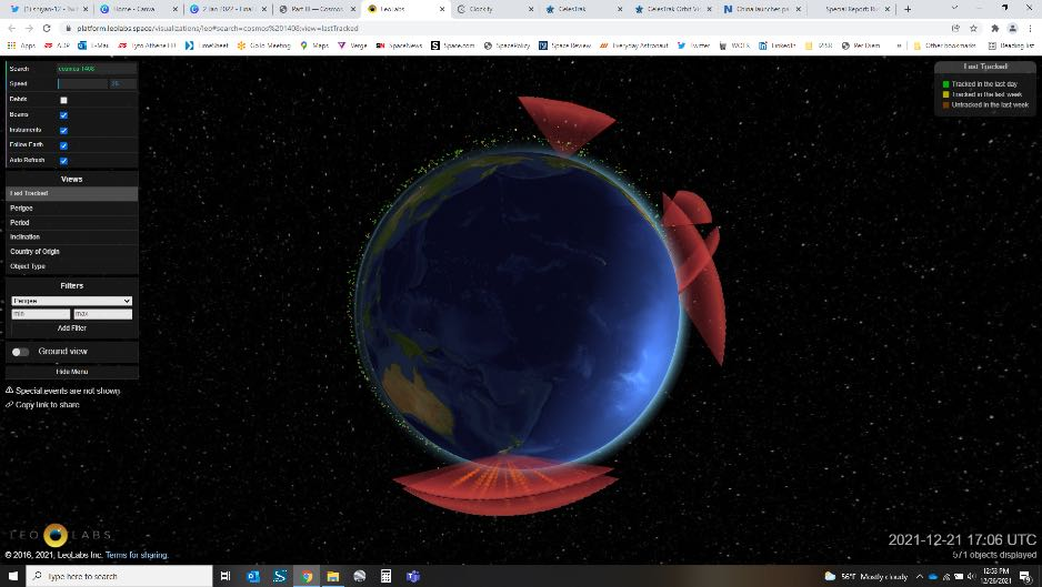
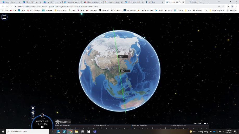
– Each satellite weighs about 3 tons. Both were tracked in geostationary orbit near one another on 31 December: Shiyan 12(01) at 94.28°E and Shiyan 12(02) at 94.15°E, over the Indian Ocean just east of Java. Both are inclined about 0.5°.
– This was the third Shiyan launch in three months. Shiyan-10 launched in October 2021 and later raised its orbit successfully. Shiyan-9 and Shiyan-10 remain in GTO-like orbits; Shiyan-9 launched on 11 March 2021 using the LM-7A.
– The Shiyan-11 technology satellite launched to LEO on a Kuaizhou-1A rocket in Nov 2021 and is suspected to have demonstrated Earth-imaging services.
2021 was a highly ambitious year for experimental Chinese space programs: three TJS missions, three Shijian missions, and six Shiyan spacecraft were launched into a variety of orbits.
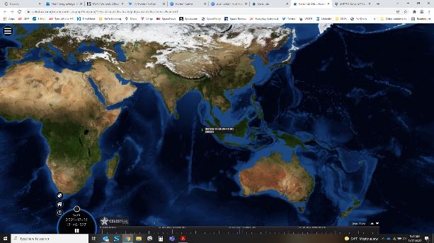
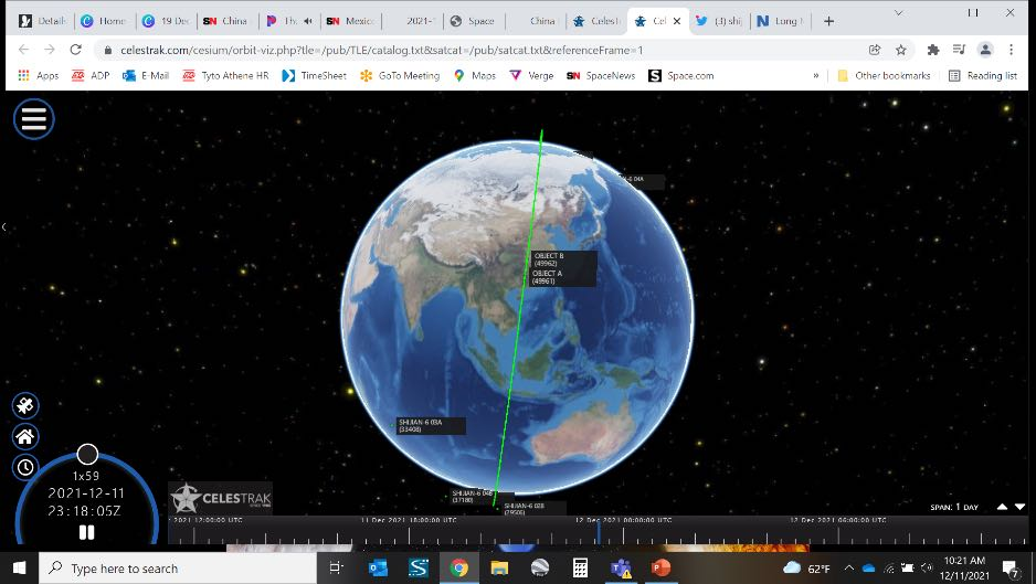
SY-12(01) and SY-12(02) geostationary position visualization.
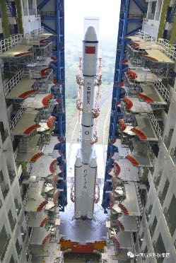
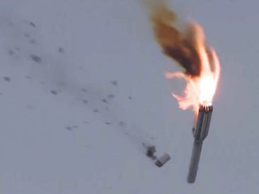
Long March 7A / Shiyan-12 launch vehicle.