12 Aug 2022: An Iranian spokesman stated Iran plans to commission three more versions of the Khayyam satellite in addition to the satellite launched on 4 Aug. There were also reports that while Russia will eventually give control of the initial Khayyam to Iran, Moscow intends to use the spacecraft to assist its own war effort in Ukraine first. Iran disputes this, saying they will control the satellite “from day one.” Washington Post coverage.
– Iranian spokesman Ali Bahadori-Jahrom stated, “The construction of three other Khayyam satellites with the participation of Iranian scientists is on the government’s agenda.”
– He said Khayyam is designed to meet Iran’s needs for “crisis and urban management, natural resources, mines, agriculture and so on,” and that the satellite was built by the Russians under Iran’s supervision.
– The Washington Post reported that Iran might not be able to take control of the satellite immediately, and that Russia planned to use the spacecraft for several months or longer to enhance surveillance of military targets in Ukraine.
– The launch was described as another indicator of increased military and political cooperation between Moscow and Tehran.
– Khayyam’s camera has a resolution of 1.2m according to Western security officials. This is below the highest-end U.S. government or commercial imagery capabilities, but represents a substantial improvement over Iran’s existing capability.
– A potentially important benefit is Iran’s ability to task the satellite against locations of its choosing, including military facilities, oil refineries and other infrastructure in neighboring states.
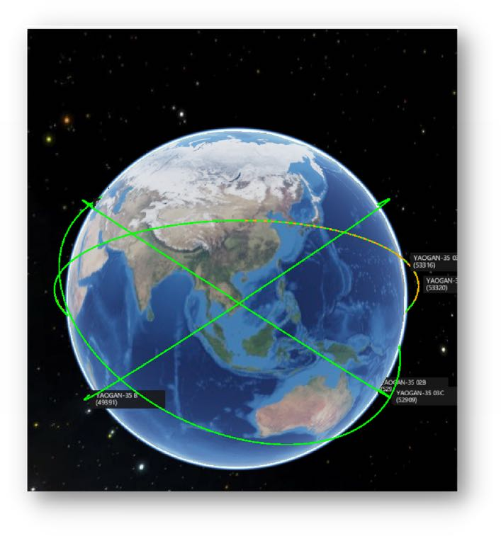
Khayyam is in a 499 x 501.5km, 97.4° sun-synchronous orbit with an orbital period of about 94.5 minutes.
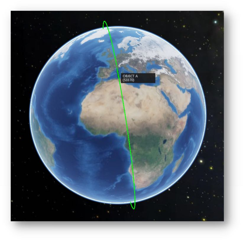
Khayyam sun-synchronous orbit.
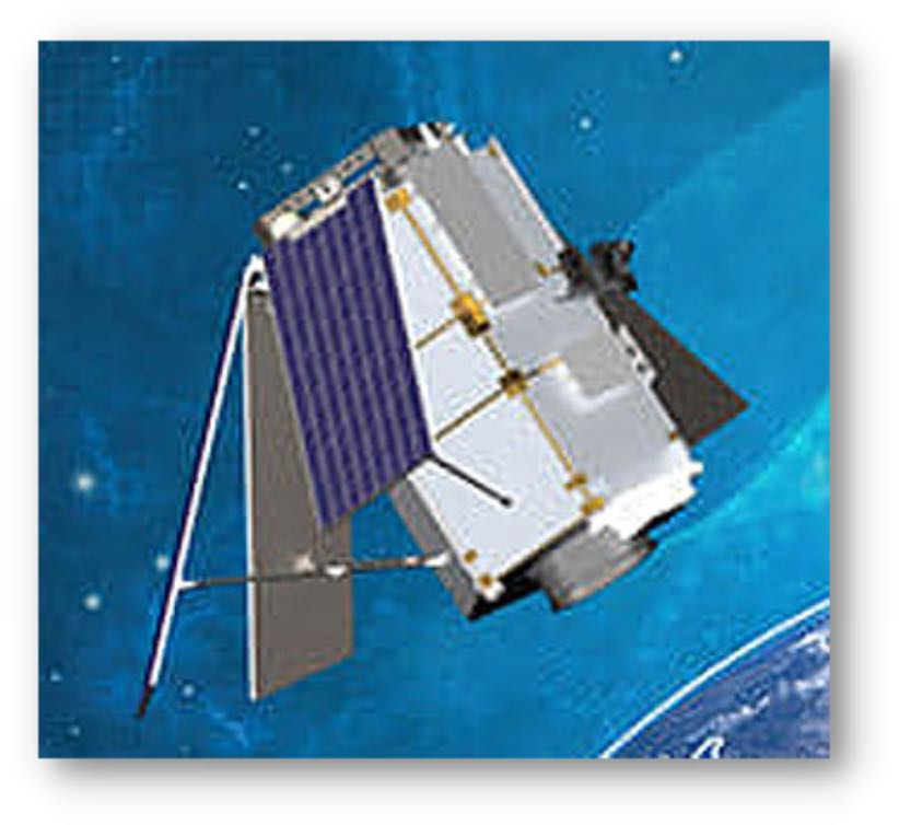
Khayyam satellite.